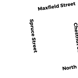
39 CHESTNUT ST
Owner Information
ANDRADE ALIPIO SEMEDO
39 CHESTNUT STREET
NEW BEDFORD, MA 02740


Property Details
39 CHESTNUT ST is classified as a Single Family Residential (Cottage).
The primary structure on this property was built in 1873. There are 2,210ft2 of built area within this property. There is 2,210ft2 of residential/living space within this property. This property is listed as having 9 rooms.
39 CHESTNUT ST is valued at $209,600. The land is valued at $63,100 and the structures are valued at $146,500.
This property is in Zone RB. Confirm with local Zoning Board authorities to ensure there are no overlays or other easements on this property.
The most recent deed for 39 CHESTNUT ST is recorded at the local registrar in Book 12000, Page 223. 39 CHESTNUT ST was last sold on Tuesday, February 28, 2017 for $82,525.
Assessment data from fiscal year 2021.
Flood Data
According to the FEMA National Flood Hazard Layer, this property does not appear to be in a flood zone. It may also be in an area not yet reviewed. Nonetheless, confirm this information prior to taking any action.
To view the flood hazards around this property, create a FEMA "Firmette" Map of the area around 39 CHESTNUT ST.
Broadband Internet Providers
| Provider | Type | Bandwidth (mbps) | |
|---|---|---|---|
| HughesNet | Satellite | 25 | 3 |
| Viasat Inc | Satellite | 35 | 3 |
| Verizon New England Inc. | DSL | 15 | 1 |
| Comcast | Cable | 1000 | 35 |
| VSAT Systems, LLC. | Satellite | 2 | 1 |
| GCI Communication Corp. | Satellite | 0 | 0 |
Broadband service provider data from December 2020.
Adjacent Properties
- 324 COTTAGE ST
Three-Family Residential owned by SANTOS ANTHONY F - 35 CHESTNUT ST
Single Family Residential owned by COSTA HELEN M - 326 COTTAGE ST
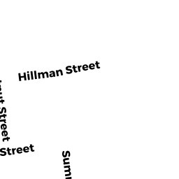
Three-Family Residential owned by TEIXEIRA CARLOS "TRS" - 134 HILLMAN ST
Single Family Residential owned by BOISSONEAU SUZANNE A - 138 HILLMAN ST
Two-Family Residential owned by WESTGATE ANTHONY L - 45 CHESTNUT ST
Two-Family Residential owned by U S BANK N A